São Vicente
is not only Mindelo, the vibrant port city with a lively culture, commercial and administrative center of the northern archipelago of Barlavento. The interior of the island offers an amazing variety of hikes, sometimes challenging with alpine relief, partly over cobbled streets or along the beaches. In the south of the island one gets to lonely, rarely visited world-class areas for surfers and windsurfers.
- Scale 1:35 000
- Huge Format 70x100 cm
- with many fotographs
- tear-proof paper
- GPS-precision with WGS 84
- easy to read signatures
- colored altitude levels and shadowing
- 13 classified tracks
- Dive spots, beaches, important places
Legend iin four langauages:
- English
- German
- Frenchösisch
- Portuguese
On the back:
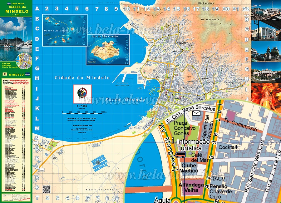
Huge City Plan 1:7500 Mindelo:

very detailled mapping technology:
- the entire urban area and suburbs
- makes orientation possible where there are no street-signs and numbers
- colored altitude levels
- updated regularly on the spot