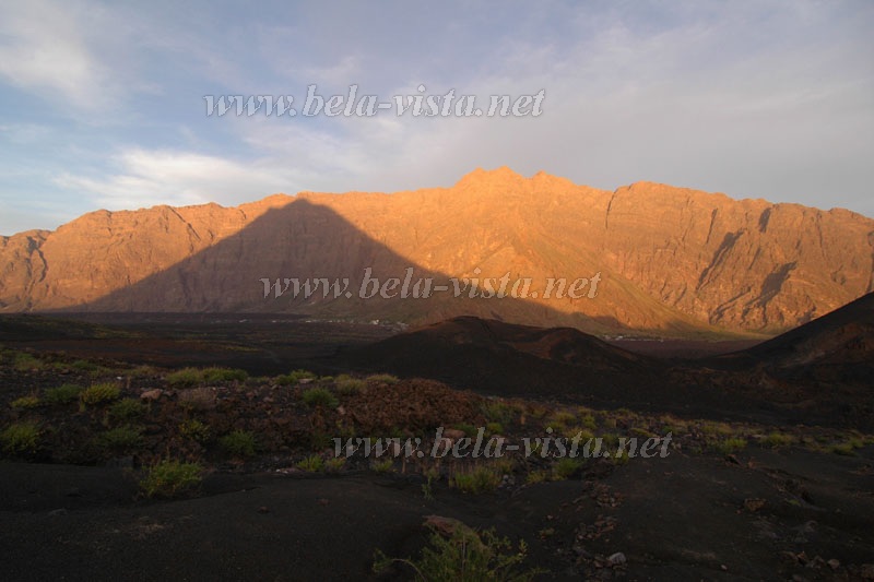
Looking into
the crater and all around the Atlantic
Fogo is composed of several different,
neatly distinct hiking resorts which are not
yet described sufficiently in guide-books.
We are planning to edit a first special guidebook to the island in 2007 (first
in German language).
Mountainbiking on
the extent network of little roads is enjoyable
on this island. Nevetheless, the differences
in altitude are not to forget!
Chã das
Caldeiras - Pico do Fogo and back
Duration
to and fro |
5 h |
| Track |
3-5 |
| Navigation |
3 |
|
Because
of eminent risks, hikers are obliged
to take a guide!
Equipment: Tough
mountain boots, sun protection,
anoraak,
min. 4 Liters of Water / Person |
 |
One
hour before sunrise
the experienced hiker is on its way.
After half an hour on a little road, the track starts to climb.
|
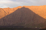 |
The
first sunlight
projects the picture of the Pico to the orange coloured rocks of "Bordeira",
the impressive rim of the former main-caldeira whos summit is not so much
lower thatn the much younger Pico. |
 |
In
the morning brise
on a steep ascent, mainly over gravel and ashes, 1200 m of altitude pass
quickly. |
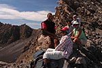 |
To
the very summit
there is no way, because it is found on top of a loose rock where the risk
to climb would be unacceptable. So we stay a few meters below, enjoying
the view down into the crater with sulfur patches and fumaroles and far
aroung over the Chã and neighbouring islands.
Guide Beto, Lucete Fortes and
a friendly couple of readers of our maps and guidebooks. |
 |
The
descent
over soft, pitch black ashes (crioulo: Jorra) is a special experience.
The boots go under the surface and glide serveral meters with every step.
This reminds more skiing than walking. Great!
Hikers still fit enough for a little longer track prefer to go down
to the Pico Pequeno, the new crate and cone created by
the eruption of 1995. |
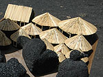 |
Back
in Chã das Caldeiras
children with souvenirs made from local lava are avaiting the guests.
Legends know that all those blond
people in Chã das Caldeiras are grand-grand-grandchildren
of a french nobleman Mr. Montrond,
who came to Fogo after a - by the time
already forbidden - duell.
|
|