|
The
Legend
tells you what the arrows í mean and how the terms
"right" and "left" are used.
|
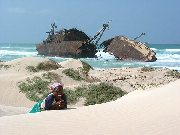
Sal Rei - Wrack Cabo Santa Maria |
|||||||||||
|
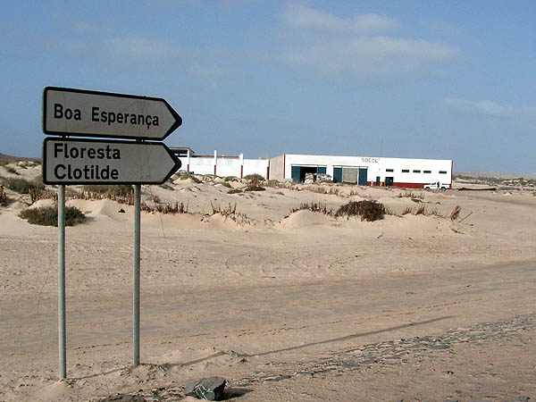
A hike to the beaches of the North is a pleasure to many tourists. We describe it in direction from the town to the wrack, as navigation is a little more tricky than in opposite direction. 3 Liter trinking water per person, rugged shoework, sun protection, map and compass are basic equipment.. Starting Point is the SHELL filling station in the Sout-East of the town. Right behind it é the former paved road to Rabil starts, nowadays italianized as "via pittoresca" for marketing. Followig to a little pass č a bifurcation is reached and you continue ě over a sandy little road in the dunes. [SMar13].
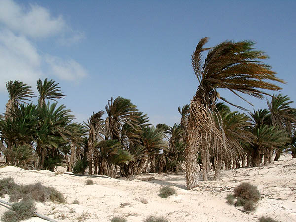
Palm trees ě of Floresta Clotilde
are the endemic phoenix atlantica and the taller
phoenix phoenix as well as
phoenix dactilifera showing several trunks spreading from a common
centre like the fingers of a hand. At Boa Espanca ě
dunes take over and accompany the road to the pass. There is little to
detect of the paved road
ě as it is covered with sand and any goat
track helps to get to the wrack.
|